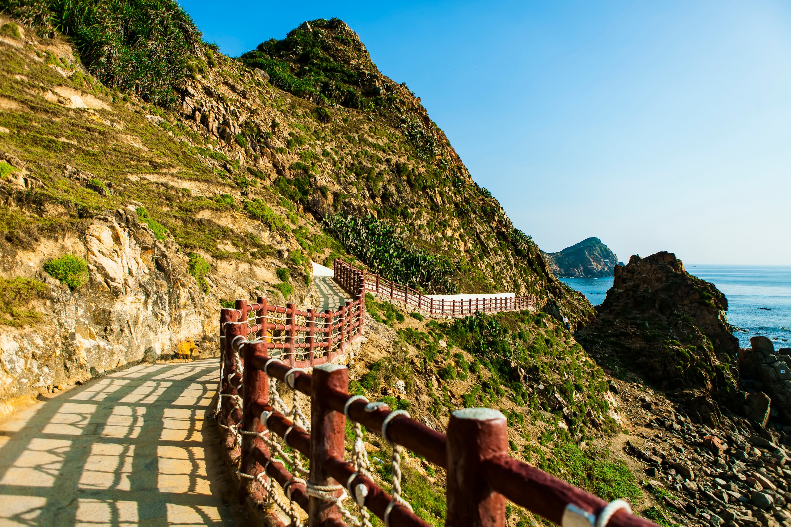
Bach Ma
Bach Ma
Located 40 km from Hué, Bach Ma National Park combines waterfalls, highland lakes, tropical forest and vestiges of the former French colonial station.
Bach Ma National Park stretches across the foothills of the Annamite Range, roughly forty kilometres south-west of Hué. Perched at 1,250 metres altitude, it brings together French colonial remnants, humid tropical forest and biodiversity of regional significance.
Why visit Bach Ma
Bach Ma offers a rare contrast in central Vietnam: a cool climate within immediate reach of the coast and major tourist hubs. The park concentrates waterfalls, highland lakes, panoramic viewpoints and a rich ornithological heritage with approximately 350 bird species recorded. The ruins of colonial villas, scattered through the vegetation, add a historical dimension to hiking. It serves as a useful break for those wishing to alternate urban exploration of Hué or Hoi An with time in nature.
History of the site
In 1932, French engineer Gérard selected the Bach Ma summit to establish a mountain station intended for Hué's colonial administration. The site was developed to accommodate officials seeking summer relief: 139 villas and hotels were built, along with a post office and market. By 1937, the village had earned the nickname "Dalat of central Vietnam" and the area was designated a reserve that same year.
The fighting of the 1950s and Vietnam's independence led to the site's abandonment. The villas fell into ruin and the forest reclaimed its territory. Bach Ma was officially recognised as a national park in 1986, marking the beginning of a new phase focused on preservation and nature tourism.
What to see and do
Main sites
- Vong Hai: the park's highest point at 1,450 metres altitude. Several French villas have been restored as guesthouses and the viewpoint overlooks Cau Hai Lagoon and the China Sea.
- The five lakes: a path of roughly 30 minutes connects this series of natural pools. The third lake is surrounded by waterfalls and is suitable for swimming.
- Do Quyen Waterfall: a 300-metre drop, particularly striking in spring when rhododendrons flower along its edges.
- Truot Waterfall: nicknamed "the slide," it features an inclined rock slab that visitors use to cool off.
- Truc Lam Zen Monastery: accessible by boat, this meditation centre belongs to Vietnamese Zen tradition.
Hiking and wildlife observation
The park has a network of marked trails ranging from 1 to 16 kilometres, allowing visitors to adapt the outing to their fitness level. Birdwatching enthusiasts come to observe around 350 bird species; the earliest morning hours remain most favourable.
When to visit
The dry season runs from December to April: cool temperatures, generally clear skies and ideal conditions for hiking and swimming in the pools. The rainy season covers September to December, with precipitation that can make trails slippery and limit visibility at viewpoints. If you travel during this period, build flexibility into your plans and check local forecasts.
Getting there
Bach Ma is located approximately 40 km from Hué, 60 km from Da Nang and 90 km from Hoi An, making it accessible as a day trip from any of these three cities.
- From Hué: take National Road 1A heading south to the town of Phu Loc, where a sign indicates the park entrance.
- From Da Nang: cross Hai Van Pass then follow National Road 1A north to the Phu Loc junction.
Once at the park entrance, several options allow you to reach the heights: a shared minibus operates during the day, private vehicles can be chartered, and experienced hikers can reach the summit on foot in approximately 6 hours.
Practical information
- Entrance: moderate fee, with reduced rates for children. A park map is provided at reception.
- Guides: English-speaking guides can be booked at the entrance, with a surcharge on weekends.
- Accommodation: a few restored former villas offer highland guestrooms, useful for enjoying sunrise.
- Equipment: hiking shoes, windproof and waterproof clothing are advised, as the climate changes rapidly at altitude.
Nearby
Bach Ma fits naturally into an itinerary connecting the major sites of central Vietnam. To deepen your exploration of Vietnamese nature, other highlands deserve a detour: Bà Đen mountain, the highest point in southern Vietnam, or Buu Long mountain and its lake region. For a river interlude, the Ba Lai river illustrates delta landscapes. History enthusiasts can extend their journey through Ba Chuc.
Frequently asked questions
Frequently asked questions
A full day allows you to combine the ascent to the summit, the five lakes trail and one of the waterfalls. To enjoy birdwatching at dawn and explore several trails, an overnight stay in a restored villa is recommended.
Yes, several natural pools around the five lakes and at the base of certain waterfalls are suitable for swimming in the dry season. Conditions are less favourable during the rainy season due to water flow and slippery trails.
The park is accessible independently thanks to marked trails and the map provided at the entrance. An English-speaking guide, bookable on-site, remains useful for birdwatching or identifying flora.
Yes, provided you choose short trails (1 to 3 km) and use the minibus to reach the heights. Truot Waterfall and the first lakes are the most accessible sites with children.
Yes, in fact it's one of its greatest strengths. The park lies midway between Hué and Hoi An and makes for an ideal nature break between these two cultural stops.
Planning your trip
To include Bach Ma in a bespoke itinerary between Hué, Da Nang and Hoi An, browse our Vietnam journeys and discuss with our advisers to build a programme suited to the season and your pace.

Interested in this visit?
We can include it in your personalised itinerary.