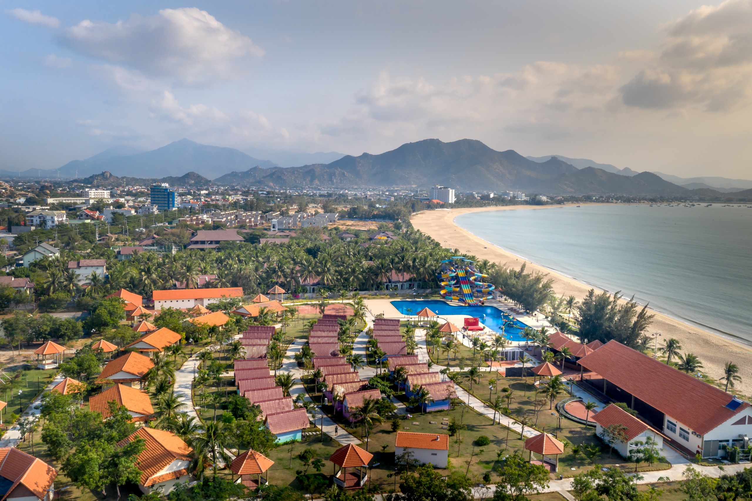
Hai Vân Pass
Hai Vân Pass
Once the frontier between Dai Viêt and Champa, Hai Vân Pass connects Hue to Da Nang via a panoramic 20 km road suspended between mountain and sea.
Hai Vân Pass, or the "Cloud Pass," links Thua Thien-Hue Province to Da Nang Province over some twenty kilometers of winding road. Reaching approximately 500 meters in elevation, it offers a succession of bends opening onto the South China Sea and marks a sharp geographic and climatic boundary between northern and southern Vietnam.
Why visit Hai Vân Pass
Hai Vân Pass is one of Southeast Asia's most memorable mountain passages. Its reputation rests on three elements: a spectacular route suspended between mountain and coastline, strong historical weight (former frontier between two kingdoms, successive military remnants) and its strategic position on the Hue – Da Nang – Hoi An axis, traveled by the majority of those crossing central Vietnam.
It is also a climatic boundary: it is not uncommon to leave Hue under a low, humid sky only to find sunshine at Da Nang, or vice versa. This natural barrier explains why the south of the pass is considerably drier than the north.
History of Hai Vân Pass
From the 11th to the 15th century, the pass constituted the historic frontier between the kingdoms of Dai Viêt, to the north, and Champa, to the south. Vietnamese lords built guard posts here to control this strategic passage, and several confrontations between the two powers occurred before Champa's gradual absorption.
Under the Nguyên Dynasty, a fortified gate called Hai Vân Quan was constructed at the summit in 1826 under Emperor Minh Mang. Later, French colonial authorities undertook improvements to road infrastructure, transforming the steep trail into a passable route and facilitating north-south connections. During the Vietnam War, the pass was an essential surveillance point: an old French bunker located at the pass summit remains visible today, complemented by American and South Vietnamese blockhouses.
The opening of the road tunnel beneath the pass in the early 21st century profoundly transformed the landscape: heavy traffic now uses this underground passage, freeing the panoramic road for travelers and motorcyclists.
What to see and do
The summit and Hai Vân Quan Gate
The highest point concentrates most of the vestiges: the restored imperial gate, concrete bunkers and several platforms opening onto Da Nang Bay to the south and Lang Co Lagoon to the north. Allow 30 minutes to 1 hour for a full tour on foot.
The panoramic road
Since the tunnel opened, the pass road has been largely abandoned by trucks and buses, making it ideal terrain for motorcycles, private cars or bicycles. The most photographed bends are located on the south side, descending toward Da Nang.
Hiking and viewpoints
Several short trails depart from the summit and follow the old military positions. Vegetation is dense and terrain marked: bring sturdy shoes and water.
Practical information
The pass is easily traversed in a day. No entrance fee is charged for the road; access to summit vestiges is free or subject to a modest ticket depending on season. Bring a light jacket: temperature at the summit can be noticeably cooler than at Da Nang, and fog settles quickly.
- Visit duration: 1 to 2 hours for the summit, half a day if combining the full crossing with photo stops.
- Equipment: closed-toe shoes, windbreaker, sun protection, water.
- Safety: the road features tight bends and sometimes irregular pavement; careful driving required, especially in humid conditions.
When to visit
The end of the dry season, around September, offers the most stable conditions: clear visibility, comfortable temperatures, low probability of fog at the summit. The February to May period is also favorable. Conversely, from October to January, the northern slope (Hue side) receives frequent rain and the pass can be shrouded in clouds for several days at a stretch.
How to get there
The pass lies between Hue (to the north, approximately 80 km) and Da Nang (to the south, approximately 30 km), immediately adjacent to Da Nang. Several options depending on your profile:
- Private car with driver: most comfortable solution from Hue or Hoi An, with free stops at viewpoints.
- Motorcycle: the Hoi An – Hue motorcycle route via the pass is one of the most traveled roads in the country by travelers, often organized in a day with baggage transfer.
- Hue – Da Nang train: the railway runs along the coast below the pass and offers a different perspective, particularly spectacular on the sea side.
- Bicycle: reserved for experienced cyclists due to elevation gain.
To see in the area
The pass fits naturally into a central Vietnam itinerary:
- Lang Co: coastal town known for its beaches and seafood, about twenty kilometers north of the pass, ideal for a lunch stop.
- Bach Ma National Park, a former colonial sanatorium turned nature reserve, about an hour's drive away.
- Dong Ha, in Quang Tri Province, to extend exploration of the center toward war sites.
- Bai Chay and Ca Na, other coastal stops for those continuing the journey along the shoreline.
Frequently asked questions
Frequently asked questions
Plan your trip
Hai Vân Pass almost always integrates into a larger circuit through central Vietnam, between Hue, Hoi An and Da Nang. To build a tailored itinerary including this crossing, consult our Vietnam journeys.

Nearby
Interested in this visit?
We can include it in your personalised itinerary.