Phan Rang Thap Cham
Phan Rang Thap Cham
Former capital of the Champa kingdom of Panduranga, Phan Rang Thap Cham combines Cham sanctuaries, wind-swept beaches, dunes and vineyards in South-Central Vietnam.
Phan Rang Thap Cham, capital of Ninh Thuan province in South-Central Vietnam, occupies a singular position on the country's map: it is one of the driest and windiest zones in the territory, a direct heir to the Champa kingdom of Panduranga. Red brick towers perched on arid hills, beaches exposed to trade winds, unusual vineyards in a tropical climate and an ever-present Cham community: the city deserves a visit for its heritage as much as for its coastal landscapes.
Why Visit Phan Rang Thap Cham
Three main reasons warrant a stop in the region. First, Cham heritage, among the best preserved in Vietnam with tower sanctuaries that still dominate the plain. Next, a dry microclimate that produces landscapes atypical for the country: dunes, savanna, vines and dragon fruit plantations. Finally, beaches still largely untouched by international tourism, ideal for wind sports.
The city suits travelers who appreciate cultural stops without crowds, as a complement to an itinerary between Ho Chi Minh City and Nha Trang or Da Lat.
History of Phan Rang Thap Cham
The region corresponds to the former capital of the Champa kingdom of Panduranga, a Cham principality that survived until the 17th century. Cham presence remains visible in the brick sanctuaries, but also in villages and religious practices of descendants settled around the city.
The modern agglomeration was founded in 1917 under Emperor Khải Định, as part of the administrative reorganization of French Indochina. It became the provincial capital of Ninh Thuận until 1976, when the province merged with Bình Thuận to form Thuận Hải province. In 1992, Phan Rang and Tháp Chàm were reunified under their current name and Ninh Thuận regained its administrative status. The city also served as an air base during the Vietnam War, which explains certain infrastructure still visible on its outskirts.
What to See in Phan Rang Thap Cham
Cham Sanctuaries
- Po Klong Garai Tower: approximately 8 km from the city center, on Trau Hill, this cluster of brick towers dedicated to King Po Klong Garai (13th–14th century) remains an active place of worship for the Cham community, particularly during the Kate festival in autumn.
- Po Re Me Tower: approximately 9 km south of Phan Rang, more modest and less visited, it honors the last independent Cham sovereign and retains the character of a living sanctuary.
Urban Heritage
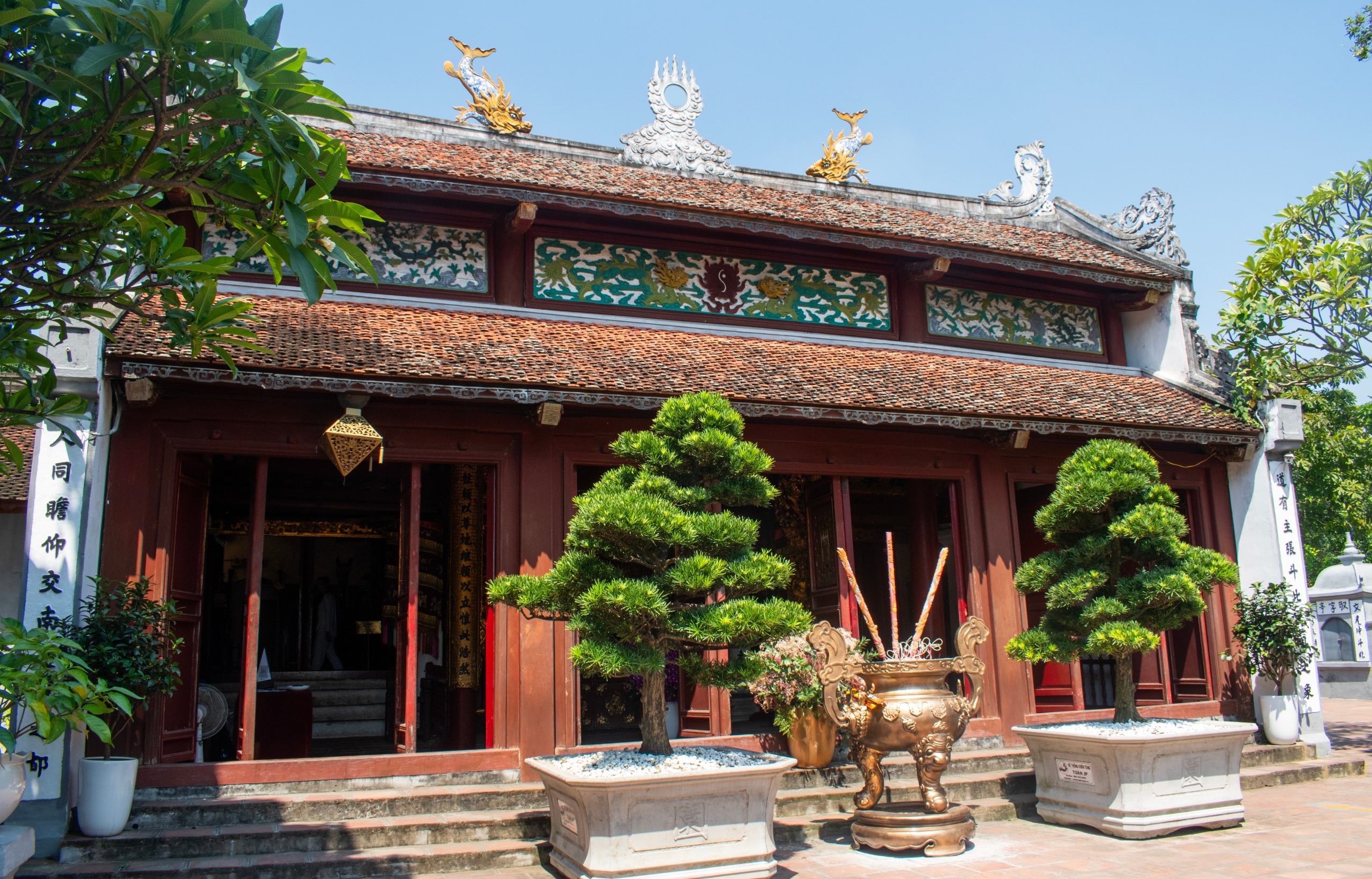
- Quan Cong Pagoda: a century-old Chinese temple in the heart of the city, testament to the long-standing settlement of a Hoa community in the region.
- Markets and Cham Villages: pottery workshops in Bau Truc and weaving workshops in My Nghiep, two artisan villages where techniques are still passed down through generations.
Nature and Coastline
- Ninh Chu Beach: the nearest beach to the city, long and lined with casuarina trees.
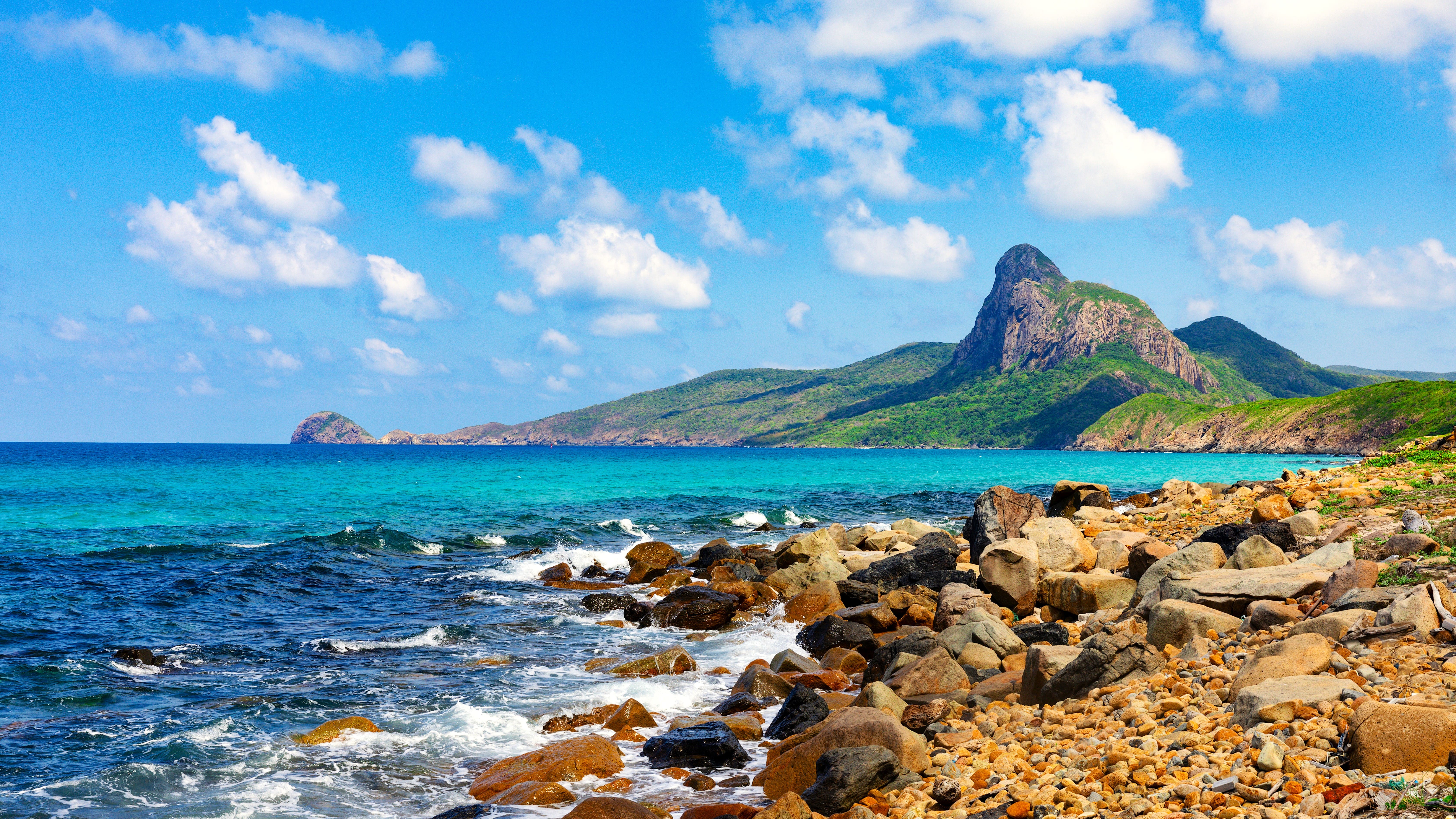
- Ca Na Beach: some thirty kilometers to the south, popular for swimming and its rocky scenery.
- Mui Dinh Dunes: a cluster of sand dunes to the south, accessible by 4x4 or buggy from the coast.
- Vinh Hy Bay: a marine reserve to the north, known for its coral reefs and sea turtles, to be explored by glass-bottom boat.
Water Sports and Vineyards
The consistent coastal winds have made Ninh Chu and the neighboring Phan Rang bay one of Vietnam's recognized kitesurf and windsurfing spots. Inland, the city is renowned for its table grapes: several estates can be visited and offer tastings.
When to Visit
Phan Rang Thap Cham enjoys a tropical savanna climate, with temperatures ranging between 27 and 28 °C year-round. With 700 to 800 mm of annual rainfall, the region ranks among Vietnam's driest areas.
- Dry Season (December to August): the most stable period, suitable for visiting Cham sites, beaches and wind sports.
- Rainy Season (September to November): short and moderate, with showers that do not prevent morning visits.
The most pleasant period extends from January to April, when heat remains manageable and skies are clear. The grape harvest and the Kate Cham festival, usually held in September or October according to the Cham lunar calendar, justify a visit during the shoulder season.
Practical Information
Plan a full day for the two main towers and the pagoda, two to three days if you add beaches, artisan villages and Vinh Hy bay. Entry to the Cham towers is charged but the fee remains modest; bring water and a hat, as sites are exposed to full sun.
The city offers accommodations in various categories, concentrated around the center and Ninh Chu beach. Local cuisine highlights seafood, bánh xèo (crispy Vietnamese pancakes) and vineyard products.
How to Get There
- By Car: from Ho Chi Minh City, 5 to 6 hours via National Highway 1A, crossing through Binh Duong, Dong Nai and Ninh Thuan.
- By Bus: daily connections from Ho Chi Minh City, Nha Trang and Da Lat; advance booking is recommended during high season.
- By Train: the north-south rail line serves Tháp Chàm station, a few kilometers from the center. No direct line connects to the city center; a local transfer is necessary.
- On-site: xe ôm (motorcycle taxis) and regular taxis allow you to move around the city and reach nearby sites.
Nearby
Several stops complement a visit to Phan Rang Thap Cham:
- Ca Na, a beach and fishing village south of the province.
- Di Linh, on the road to the Central Highlands toward Da Lat.
- Long Hai and Can Gio, coastal stops further south on the route to Ho Chi Minh City.
FAQ
Frequently asked questions
Planning Your Trip
Phan Rang Thap Cham fits logically into an itinerary linking Ho Chi Minh City to Nha Trang or Da Lat. To build a tailor-made trip including these stops and Cham culture, consult our Vietnam tours.
Interested in this visit?
We can include it in your personalised itinerary.