Cam Ranh Bay
Cam Ranh Bay
A natural anchorage on Vietnam's south-central coast, Cam Ranh Bay combines dense 20th-century military history with a long stretch of white sand beach.
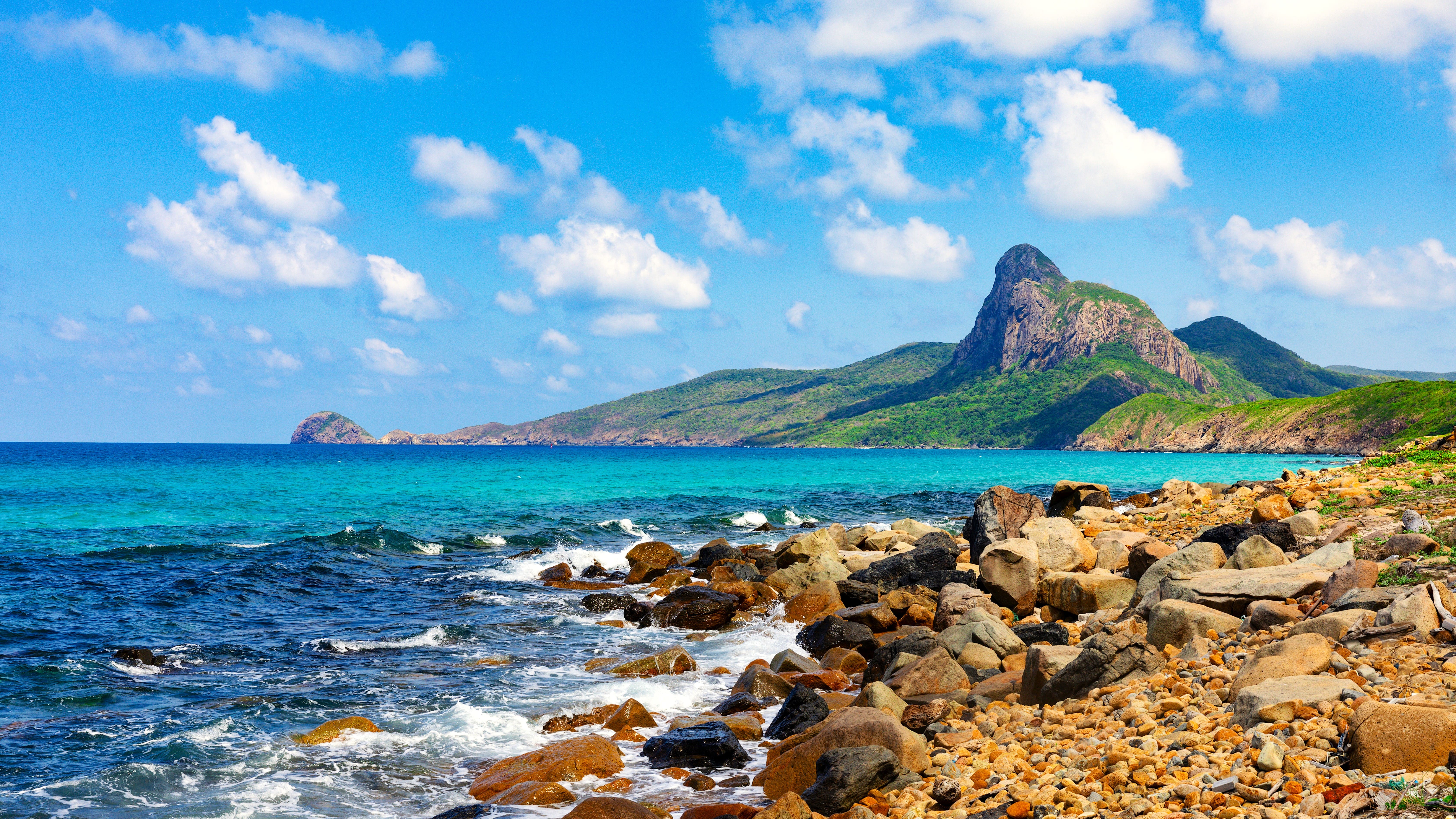
Cam Ranh Bay is one of the deepest natural anchorages in Southeast Asia. Located on Vietnam's south-central coast, some fifty kilometers north of Phan Rang-Thap Cham and south of Nha Trang, it stretches nearly twenty kilometers, sheltered from typhoons by a peninsula and coastal ridges. This exceptional geographical configuration explains its strategic role in the region's military history and its recent tourism development around the long Bai Dai beach.
Why visit Cam Ranh
Cam Ranh's appeal rests on three elements rarely found together. First, remarkable geography: a bay with calm waters framed by white dunes and arid hills, in a region of Vietnam with a dry climate and little rainfall. Next, a singular historical layering, as the anchorage served as a base for four foreign navies during the 20th century. Finally, accessibility enhanced by Cam Ranh International Airport, the main entry point for Khanh Hoa's coast, and the progressive development of the bay's northern shoreline as a resort destination with hotels and beach complexes.
- Natural bay among the best-sheltered in the South China Sea
- Bai Dai beach stretching some twenty kilometers, accessible and uncrowded outside resort areas
- Dense military history, from the Russian fleet's passage in 1905 to Soviet occupation after 1975
- Dry, sunny climate throughout most of the year, ideal for swimming
A harbor coveted by four navies
Cam Ranh's deep, enclosed position made it the subject of successive military occupations that encapsulate much of the Pacific's geopolitical history in the 20th century.
The Russian fleet's passage (1905)
The anchorage enters modern history in 1905, when it is occupied by the Russian Baltic Fleet commanded by Admiral Rojestvenski. His fleet stops there during its long journey to the Far East, just weeks before being decimated by the Japanese navy at the Battle of Tsushima in May 1905. The episode leaves a lasting imprint on the site's naval memory.
Japanese occupation (1941–1945)
During World War II, the Japanese fleet establishes itself at Cam Ranh and uses the bay as an advanced base for its operations in Southeast Asia, notably during the invasion of the Philippines and Malaysia. The bay serves as a logistical support point until the end of the conflict.
The American base (1960s)
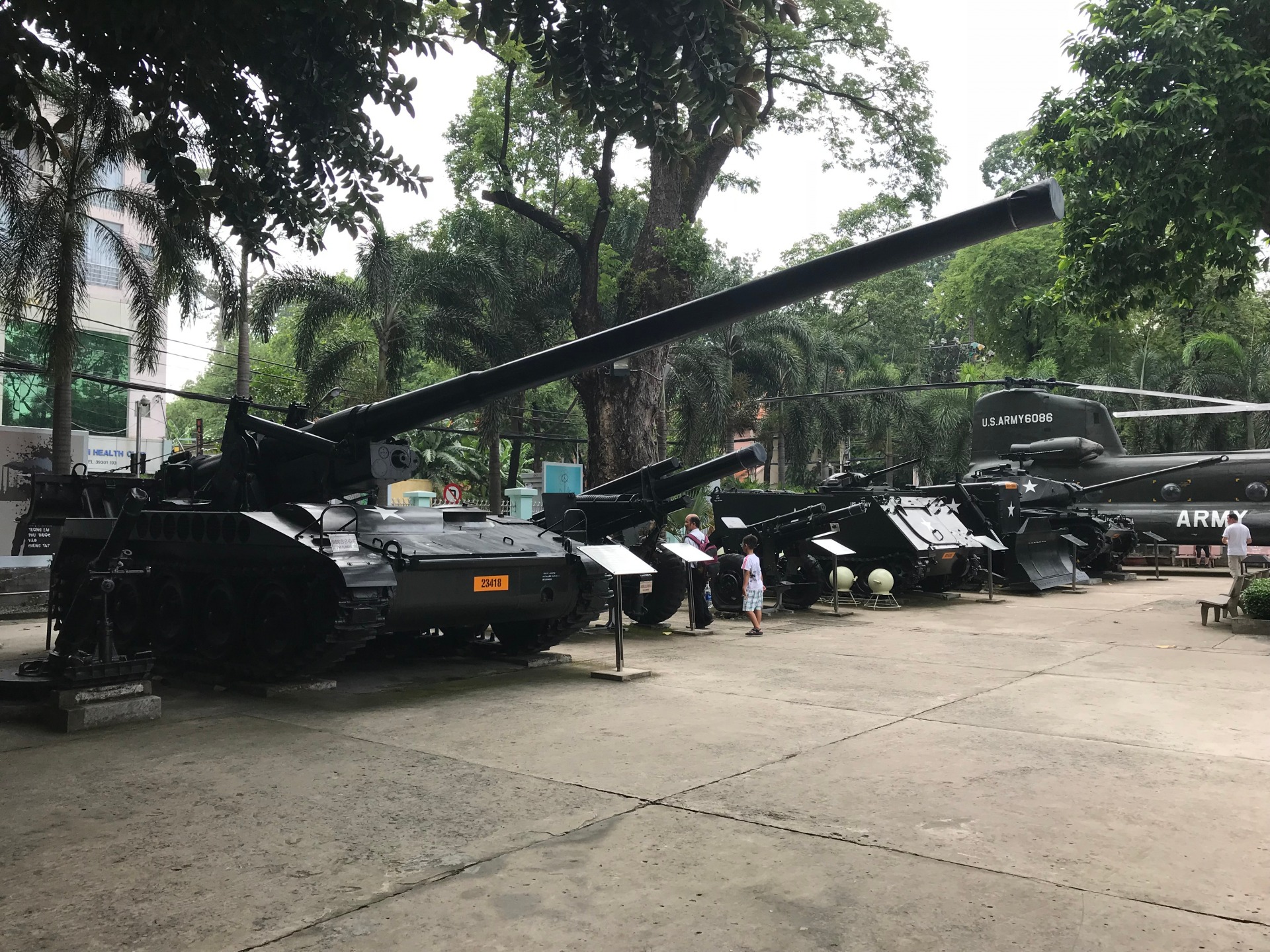
During the Vietnam War, the U.S. military makes Cam Ranh one of its principal logistics bases in South Vietnam. A deep-water port, an airfield, and vast installations are built there. The base remains operational until the American withdrawal in the early 1970s.
Soviet presence (1979–2002)
After Vietnam's reunification in 1975, the Soviet Union negotiates use of the bay and maintains its largest naval base outside its territory there from 1979 onward. Cam Ranh then serves as a support point for the Soviet Pacific Fleet. The lease ends in 2002, following Russia's gradual withdrawal.
Today
The bay has returned to exclusive Vietnamese control. It hosts a naval base that remains strategic for the country's navy, but part of the shoreline, particularly in the northeast, has opened to tourism with the development of the peninsula and Bai Dai beach.
What to see and do
A visit to Cam Ranh centers on the bay's northern coast, more accessible than the internal military zone.
- Bai Dai beach (Long Beach): a long strip of white sand stretching between the airport and Nha Trang, lined with resorts and a few simple seafood restaurants along the national highway.
- The Cam Ranh peninsula: a recently developed tourism zone with several hotel complexes, groomed beaches, and water sports (paddleboarding, jet skiing, diving).
- Fishing villages nearby, where you can observe the fleet of typical blue boats and traditional round baskets.
- Viewpoints over the bay from the coastal road connecting Cam Ranh to Nha Trang, particularly in late afternoon.
Strictly military zones and parts of the internal shoreline remain closed to the public. It's best to stick to marked tourist areas.
Practical information
- Duration of visit: plan for a day to explore the beach and peninsula, several days if you stay at a resort.
- Best time to visit: the dry season, from January to August, offers the most favorable conditions. Rain concentrates between September and December.
- Accommodation: wide range from upscale peninsula resorts to more modest hotels on the Cam Ranh city side.
- To note: photographing military zones is forbidden. Respect signage near the naval base.
How to get there
Cam Ranh International Airport serves the region with daily flights from Hanoi, Ho Chi Minh City, and several Asian cities. It is located just a few kilometers from the peninsula and main beaches.
From Nha Trang, allow approximately 35 kilometers and 45 minutes to an hour of driving along the coast. From Phan Rang-Thap Cham, travel is via National Highway 1 in roughly 1.5 hours. Private taxi or car-with-driver arrangements are most convenient for reaching bay hotels.
Nearby attractions
The Khanh Hoa and Ninh Thuan region offers several stops to complement a visit to Cam Ranh Bay:
- Ca Na, a small seaside resort to the south, known for its wild coastline between dunes and sea.
- Nha Trang and its lively beach resort center, an hour to the north, with islands and Cham heritage sites.
- The Cham towers of Po Klong Garai near Phan Rang-Thap Cham, testament to the Kingdom of Champa.
To extend your journey south, you can also include sites such as the Cai Rang Floating Market in the Mekong Delta or Ba Den Mountain near the Cambodian border.
Include Cam Ranh in your trip
Cam Ranh Bay fits naturally into an itinerary combining the south-central coast, Nha Trang, and Ninh Thuan's dry landscapes. To build a custom program including this stop, consult our Vietnam travel suggestions.
Interested in this visit?
We can include it in your personalised itinerary.